1K
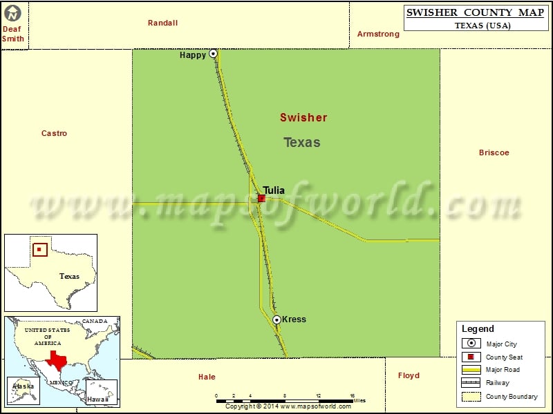
Check this Texas County Map to locate all the state’s counties in Texas Map.
Mountain Peaks in Swisher County
| Mountain Peak/Hill | Elevation [Meter] |
|---|---|
| Jackson Hill | 1042 |
Airports in Swisher County
| Airport Name |
|---|
| City of Tulia-Swisher County Municipal Airport |
| Joe Vaughn Spraying Airport |
| Vigo Park Airport |
| Whitfield Airport |
Cities in Swisher County
| City | Population | Latitude | Longitude |
|---|---|---|---|
| Happy town | 678 | 34.741582 | -101.857144 |
| Kress city | 715 | 34.365843 | -101.748392 |
| Tulia city | 4967 | 34.537383 | -101.774121 |
Golf Courses in Swisher County
| Name of Golf Course | Latitude | Longitude |
|---|---|---|
| Tule Lake Golf Club-Tulia | 34.565073 | -101.723149 |
 Wall Maps