1.2K
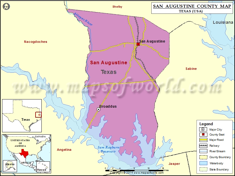
Check this Texas County Map to locate all the state’s counties in Texas Map.
Mountain Peaks in San Augustine County
| Mountain Peak/Hill | Elevation [Meter] |
|---|---|
| Height Hill | 151 |
| Hieght Hill | 156 |
| Turkey Hill | 83 |
Airports in San Augustine County
| Airport Name |
|---|
| Fairway Farm Airport |
| San Augustine County Airport |
Cities in San Augustine County
| City | Population | Latitude | Longitude |
|---|---|---|---|
| Broaddus town | 207 | 31.304974 | -94.270039 |
| San Augustine city | 2108 | 31.529643 | -94.110848 |
 Wall Maps