1.2K
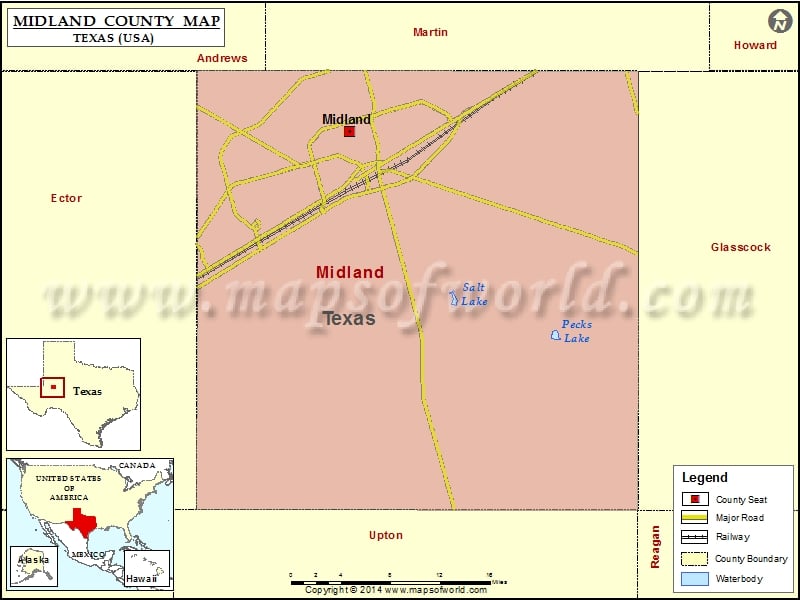
Check this Texas County Map to locate all the state’s counties in Texas Map.
Airports in Midland County
| Airport Name |
|---|
| Bates Field |
| Bta Heliport |
| Eagles Nest Gliderport |
| Midland Airpark |
| Midland International Airport |
| Ryan Aerodrome |
| Skywest Inc Airport |
Cities in Midland County
| City | Population | Latitude | Longitude |
|---|---|---|---|
| Midland city | 111147 | 32.028595 | -102.109701 |
Golf Courses in Midland County
| Name of Golf Course | Latitude | Longitude |
|---|---|---|
| Green Tree Country Club-Midland | 32.055559 | -102.165039 |
| Hogan Park Golf Course-Midland | 32.034348 | -102.058378 |
| Midland Country Club-Midland | 32.06697 | -102.08692 |
| Nueva Vista Golf Club-Midland | 32.032367 | -102.088892 |
| Odessa Country Club-Odessa | 31.898219 | -102.280896 |
| Ranchland Hills Country Club-Midland | 32.033238 | -102.066581 |
 Wall Maps