846
Mountain Peaks in Kent County
| Mountain Peak/Hill | Elevation [Meter] |
|---|---|
| Butte Knob | 660 |
| Cooper Mountain | 823 |
| Gant Hills | 665 |
| McKenzie Mountains | 864 |
| Tater Hills | 682 |
More Maps of Kent County
Airports in Kent County
| Airport Name |
|---|
| Beggs Ranch Airport |
| Kent County Airport |
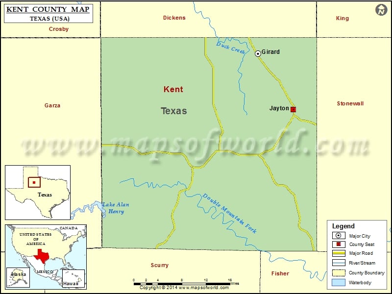
Cities in Kent County
| City | Population | Latitude | Longitude |
|---|---|---|---|
| Girard | 50 | 33.3635 | -100.659691 |
| Jayton city | 534 | 33.25018 | -100.574869 |
Golf Courses in Kent County
| Name of Golf Course | Latitude | Longitude |
|---|---|---|
| Kent County Golf Course-Jayton | 33.247141 | -100.579707 |
 Wall Maps