1.5K
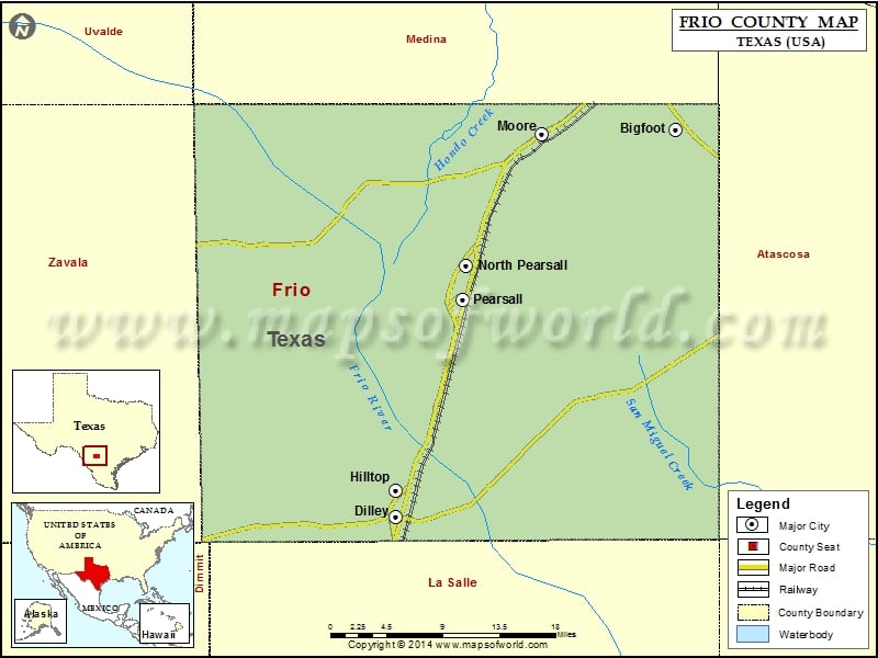
Check this Texas County Map to locate all the state’s counties in Texas Map.
Mountain Peaks in Frio County
| Mountain Peak/Hill | Elevation [Meter] |
|---|---|
| Abbey Hill | 224 |
| English Hills | 215 |
| Ghost Hill | 222 |
| Johnnie Little Hill | 223 |
| Jones Mound | 220 |
| Marshall Hills | 165 |
| Pilot Knob | 233 |
Airports in Frio County
| Airport Name |
|---|
| Agricultural Supplies Airport |
| Dilley Airpark |
| Frio Regional Hospital Heliport |
| Jay Kay Ranch Airport |
| Mc Donald Ranch Airport |
| Mc Kinley Field |
| Nash Ranch Airport |
Cities in Frio County
| City | Population | Latitude | Longitude |
|---|---|---|---|
| Bigfoot | 450 | 29.061832 | -98.852129 |
| Dilley city | 3894 | 28.66764 | -99.176536 |
| Hilltop | 287 | 28.693843 | -99.176147 |
| Moore | 475 | 29.057328 | -99.006882 |
| North Pearsall | 614 | 28.922738 | -99.094412 |
| Pearsall city | 9146 | 28.888441 | -99.098758 |
 Wall Maps