1.2K
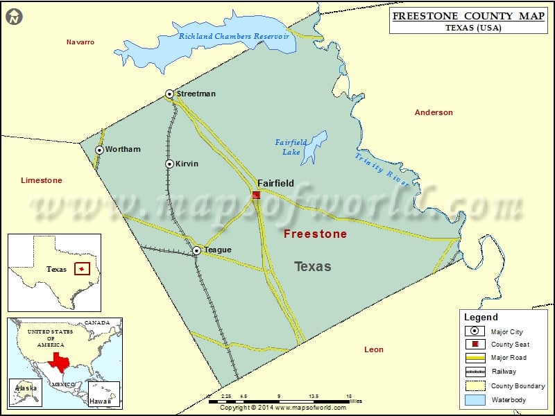
Check this Texas County Map to locate all the state’s counties in Texas Map.
Mountain Peaks in Freestone County
| Mountain Peak/Hill | Elevation [Meter] |
|---|---|
| Burleson Hill | 182 |
| Folsom Hills | 169 |
| Pilot Knob | 172 |
Airports in Freestone County
| Airport Name |
|---|
| Air Evac 53 Heliport |
| Big Brown Creek Airstrip |
| Moore Hx Ranch Airport |
| Pyramid Ranch Airport |
| Teague Municipal Airport |
Cities in Freestone County
| City | Population | Latitude | Longitude |
|---|---|---|---|
| Fairfield city | 2951 | 31.718312 | -96.169778 |
| Kirvin town | 129 | 31.767096 | -96.330018 |
| Streetman town | 247 | 31.876142 | -96.32379 |
| Teague city | 3560 | 31.629618 | -96.280293 |
| Wortham town | 1073 | 31.78968 | -96.460999 |
Golf Courses in Freestone County
| Name of Golf Course | Latitude | Longitude |
|---|---|---|
| Big Cedar Country Club-Teague | 31.631925 | -96.268409 |
 Wall Maps