959
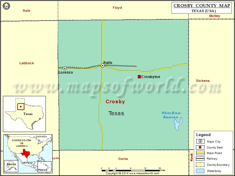
Check this Texas County Map to locate all the state’s counties in Texas Map.
Mountain Peaks in Crosby County
| Mountain Peak/Hill | Elevation [Meter] |
|---|---|
| Bunker Hill | 811 |
| Courthouse Mountain | 910 |
| Indian Hill | 845 |
| Negro Hill | 812 |
Airports in Crosby County
| Airport Name |
|---|
| Cone Airport |
| Crosbyton Municipal Airport |
Cities in Crosby County
| City | Population | Latitude | Longitude |
|---|---|---|---|
| Crosbyton city | 1741 | 33.641302 | -101.237721 |
| Lorenzo city | 1147 | 33.670341 | -101.536078 |
| Ralls city | 1944 | 33.678774 | -101.384591 |
Golf Courses in Crosby County
| Name of Golf Course | Latitude | Longitude |
|---|---|---|
| Lorenzo Country Club-Lorenzo | 33.674815 | -101.548274 |
 Wall Maps