812
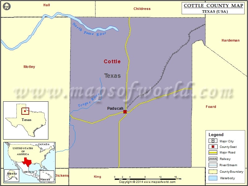
Check this Texas County Map to locate all the state’s counties in Texas Map.
Mountain Peaks in Cottle County
| Mountain Peak/Hill | Elevation [Meter] |
|---|---|
| Bull Pasture Hill | 636 |
| Red Hills | 635 |
Airports in Cottle County
| Airport Name |
|---|
| Dan E Richards Municipal Airport |
| Wilson Airport |
Cities in Cottle County
| City | Population | Latitude | Longitude |
|---|---|---|---|
| Paducah town | 1186 | 34.014421 | -100.303769 |
Golf Courses in Cottle County
| Name of Golf Course | Latitude | Longitude |
|---|---|---|
| Paducah Country Club-Paducah | 34.00651 | -100.295149 |
 Wall Maps