1K
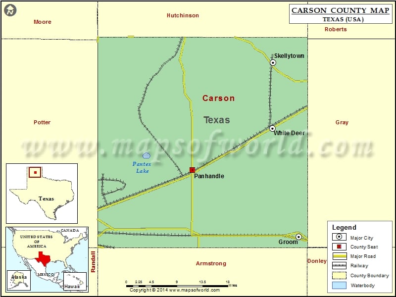
Check this Texas County Map to locate all the state’s counties in Texas Map.
Mountain Peaks in Carson County
| Mountain Peak/Hill | Elevation [Meter] |
|---|---|
| Antelope Peak | 1019 |
Airports in Carson County
| Airport Name |
|---|
| Eagles Aerodrome |
| Panhandle Carson County Airport |
| Skellytown Airport |
| Stamps Field |
Cities in Carson County
| City | Population | Latitude | Longitude |
|---|---|---|---|
| Groom town | 574 | 35.204968 | -101.106954 |
| Panhandle town | 2452 | 35.346068 | -101.380431 |
| Skellytown town | 473 | 35.571019 | -101.173044 |
| White Deer town | 1000 | 35.433193 | -101.175074 |
Golf Courses in Carson County
| Name of Golf Course | Latitude | Longitude |
|---|---|---|
| Panhandle Country Club-Panhandle | 35.33933 | -101.386619 |
 Wall Maps