860
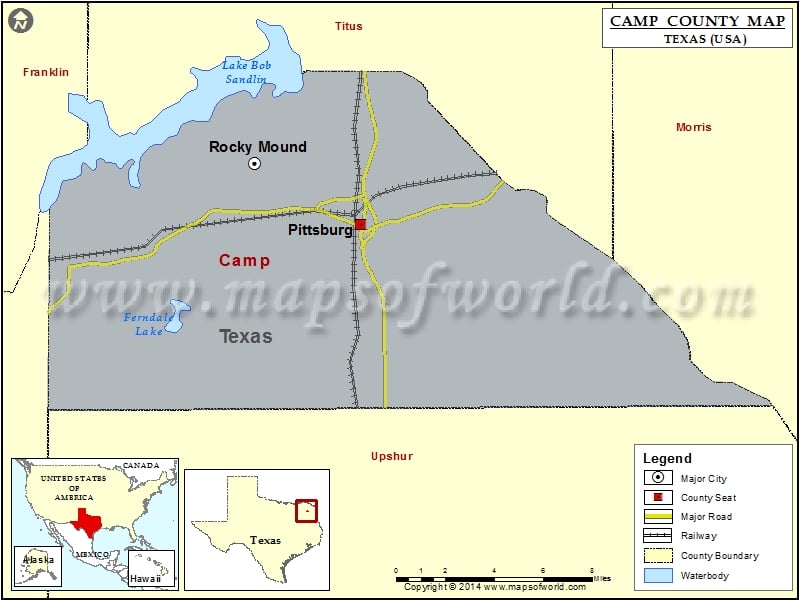
Check this Texas County Map to locate all the state’s counties in Texas Map.
Mountain Peaks in Camp County
| Mountain Peak/Hill | Elevation [Meter] |
|---|---|
| Couch Mountain | 161 |
| Wilks Mountain | 152 |
Airports in Camp County
| Airport Name |
|---|
| Etmc – Pittsburg Heliport |
| Richardson Field |
Cities in Camp County
| City | Population | Latitude | Longitude |
|---|---|---|---|
| Pittsburg city | 4497 | 32.998108 | -94.966857 |
| Rocky Mound town | 75 | 33.028702 | -95.029544 |
Golf Courses in Camp County
| Name of Golf Course | Latitude | Longitude |
|---|---|---|
| Princedale Golf Club-Pittsburg | 32.999519 | -94.950107 |
 Wall Maps