- Ohio Counties - Ohio County Map, Map of Ohio Counties
- Major Cities of Ohio - Toledo, Columbus
- Neighbouring States - Michigan, Pennsylvania, West Virginia, Kentucky, Indiana
- Regional Maps - Map of USA
- Other Ohio Maps - Ohio Map, Ohio Physical Map, Ohio Airports Map, Ohio Lat Long Map, Ohio Zip Code Map, Ohio Area Code Map, Ohio National Parks Map
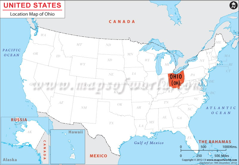
The State of Ohio is located in between 40.5 N, 82.5 W coordinates. It is surrounded by Ontario and Michigan on its northern border, by West Virginia and Pennsylvania on the east, by Kentucky and West Virginia to the south and by Indiana to the west. Ohio encompasses a total area of 66,514.06 square miles, which includes 65,990.24 square miles of total land area and 511.39 square miles of total inland water area. The state runs at a total length of 210.02 miles in its east-west direction and at a length of 229.91 miles form north to south.
Facts About Ohio
| State Name | Ohio |
|---|---|
| Country | USA |
| Continent | North America |
| Capital and largest city | Columbus |
| Area | 44,825 sq mi (116,096 km2) |
| Population | 11,594,163 (2014 est) |
| Lat Long | 40° 30′ 0″ N, 82° 30′ 0″ W |
| Official Language | None De facto: English |
| Calling Code | |
| Time Zone | Eastern: UTC -5/-4 |
| Airport | 73 Airports |
| Neighbour countries | Canada, Mexico |
| Internet TLD | .us |
| Currency | US Dollar |
 Wall Maps