1.2K
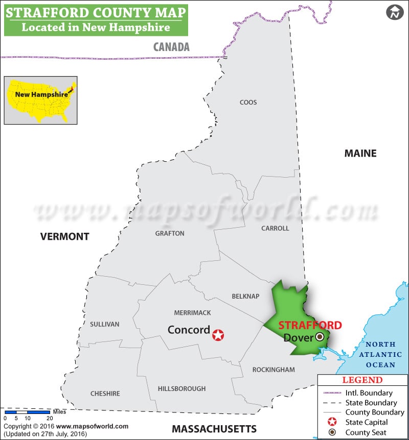
Facts about Strafford County
| County | Strafford |
| State | New Hampshire |
| Country | USA |
| Population – 2015 | 126,825 |
List of Counties in New Hampshire |
|||||
|---|---|---|---|---|---|
| County Name | County Seat/Capital | State | 2010 pop. | Area-km | Area-mi |
| Belknap | Laconia | New Hampshire | 60,088 | 1,037 | 400 |
| Carroll | Ossipee | New Hampshire | 47,818 | 2,411 | 931 |
| Cheshire | Keene | New Hampshire | 77,117 | 1,830 | 707 |
| Coös | Lancaster | New Hampshire | 33,055 | 4,648 | 1,795 |
| Grafton | Woodsville | New Hampshire | 89,118 | 4,426 | 1,709 |
| Hillsborough | Nashua | New Hampshire | 4,00,721 | 2,269 | 876 |
| Merrimack | Concord | New Hampshire | 1,46,445 | 2,419 | 934 |
| Rockingham | Exeter | New Hampshire | 2,95,223 | 1,799 | 695 |
| Strafford | Dover | New Hampshire | 1,23,143 | 956 | 369 |
| Sullivan | Newport | New Hampshire | 43,742 | 1,392 | 537 |
