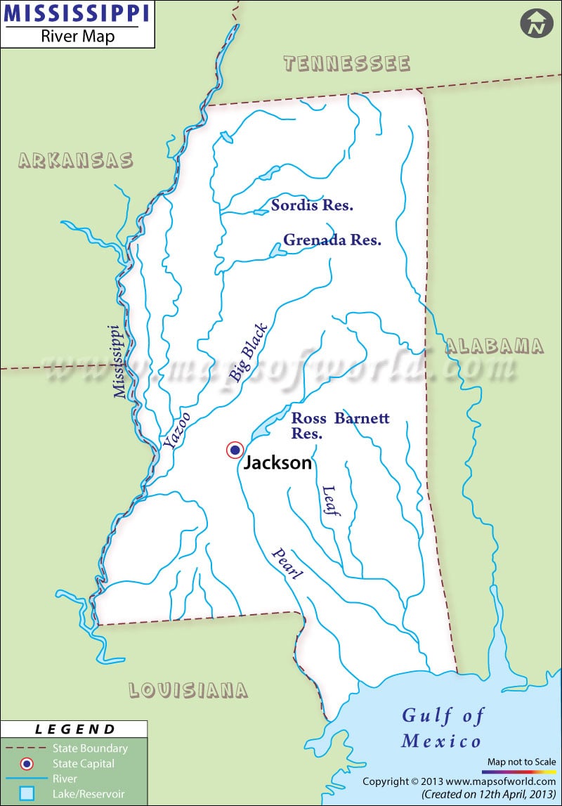
United States of America’s second longest river, the Mississippi River is 2,320 miles in length with its source in Lake Itasca in Minnesota. Mississippi river map indicates that the river final submerges in the Gulf of Mexico.
The river got its name probably by combining ‘mici’ and ‘zibi’, both Chippewa words, which translate to great water of great river. Mississippi river and its tributaries drain most of the plains lying between Appalachian and Rocky Mountains. The river is America’s principally used water route.
Mississippi river map indicates the path followed by the river and the states it passes through.Mississippi river map depicts that the river passes through Tennessee, Arkansas, Louisiana, Alabama and Mississippi.
 Wall Maps