1.1K
Mountain Peaks in Kendall County
| Mountain Peak/Hill | Elevation [Meter] |
|---|---|
| Maramech Hill | 194 |
More Maps of Kendall County
Airports in Kendall County
| Airport Name |
|---|
| Bushby RLA Restricted Landing Area |
| Caterpillar Aurora Heliport |
| Riley’s Field |
| Rossi’s Farm Airport |
| Vogen Restricted Landing Area |
| Wiley Updike Airport |
| Wilson Heliport |
| Wormley Airport |
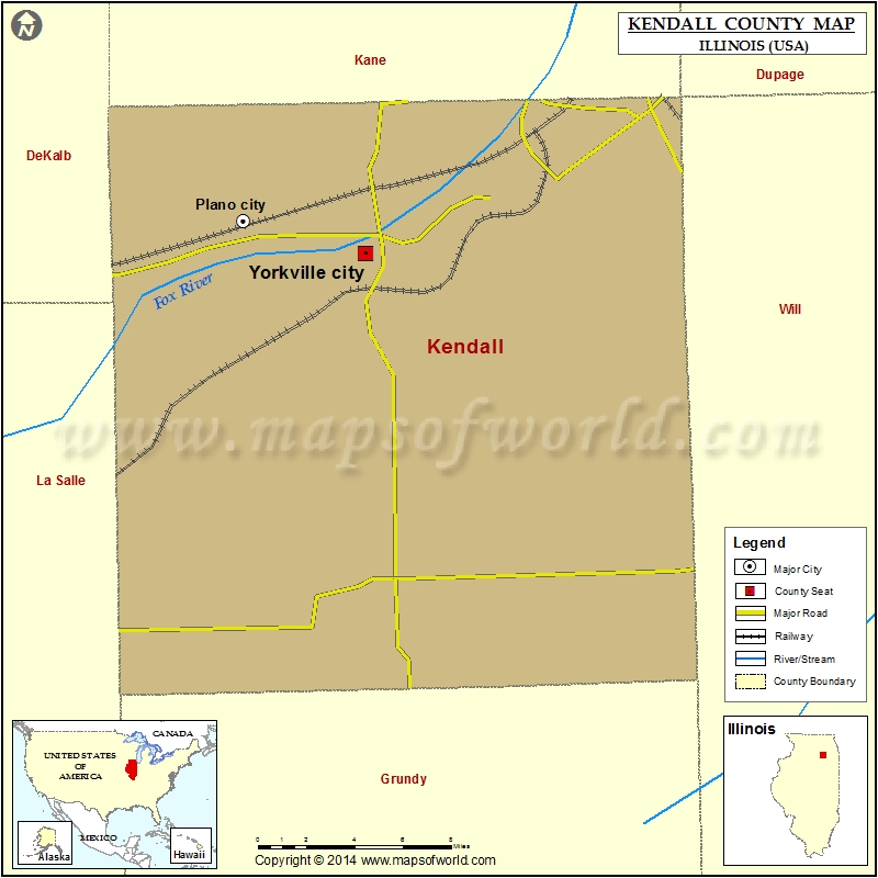
Cities in Kendall County
| City | Population | Latitude | Longitude |
|---|---|---|---|
| Boulder Hill | 8108 | 41.711295 | -88.335377 |
| Lisbon village | 285 | 41.478981 | -88.459909 |
| Millbrook village | 335 | 41.604995 | -88.544889 |
| Newark village | 992 | 41.536759 | -88.580296 |
| Oswego village | 30355 | 41.683023 | -88.338204 |
| Plano city | 10856 | 41.669273 | -88.523495 |
| Plattville village | 242 | 41.533568 | -88.385185 |
| Yorkville city | 16921 | 41.654781 | -88.451051 |
Golf Courses in Kendall County
| Name of Golf Course | Latitude | Longitude |
|---|---|---|
| Blackberry Oaks Golf Course-Bristol | 41.68781 | -88.405798 |
| Fox Bend Golf Course-Oswego | 41.694101 | -88.325955 |
| Whitetail Ridge Golf Course-Yorkville | 41.61181 | -88.369955 |
 Wall Maps