1.2K
Airports in Edwards County
| Airport Name |
|---|
| Nelson Private Airport |
More Maps of Edwards County
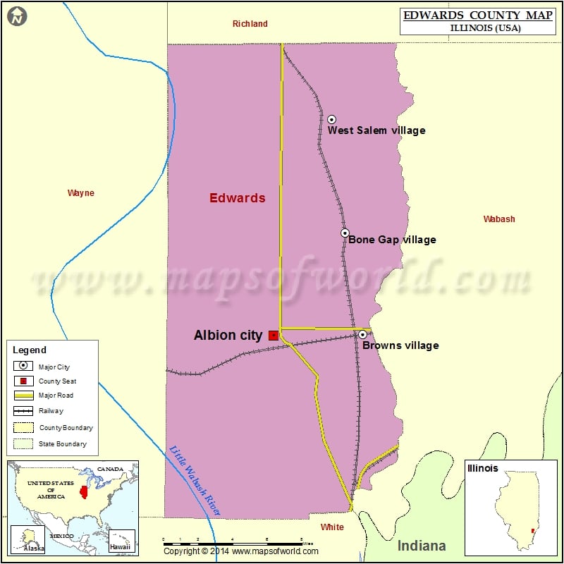
Cities in Edwards County
| City | Population | Latitude | Longitude |
|---|---|---|---|
| Albion city | 1988 | 38.376738 | -88.058134 |
| Bone Gap village | 246 | 38.444859 | -87.997486 |
| Browns village | 134 | 38.377519 | -87.983137 |
| West Salem village | 897 | 38.519683 | -88.008999 |
 Wall Maps