1.1K
Mountain Peaks in Cumberland County
| Mountain Peak/Hill | Elevation [Meter] |
|---|---|
| Buck Knoll | 186 |
| Graveyard Hill | 180 |
More Maps of Cumberland County
Airports in Cumberland County
| Airport Name |
|---|
| Cumberland Air Park RLA Restricted Landing Area |
| Williamson Airport |
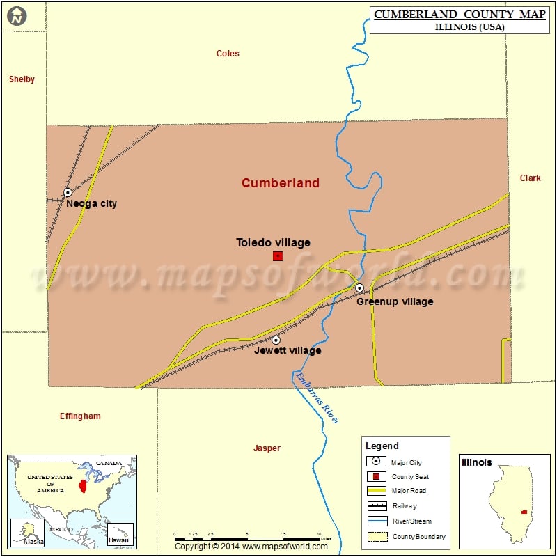
Cities in Cumberland County
| City | Population | Latitude | Longitude |
|---|---|---|---|
| Greenup village | 1513 | 39.248298 | -88.159887 |
| Jewett village | 223 | 39.207735 | -88.243068 |
| Neoga city | 1636 | 39.321908 | -88.45001 |
| Toledo village | 1238 | 39.272403 | -88.241638 |
 Wall Maps