1.2K
Mountain Peaks in Clark County
| Mountain Peak/Hill | Elevation [Meter] |
|---|---|
| Lost Hill | 171 |
More Maps of Clark County
Airports in Clark County
| Airport Name |
|---|
| Casey Municipal Airport |
| Kibler Airport |
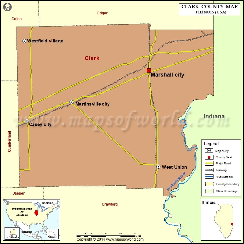
Cities in Clark County
| City | Population | Latitude | Longitude |
|---|---|---|---|
| Casey city | 2769 | 39.302657 | -87.989553 |
| Marshall city | 3933 | 39.398812 | -87.690053 |
| Martinsville city | 1167 | 39.338318 | -87.881097 |
| West Union | 288 | 39.215005 | -87.665728 |
| Westfield Village | 601 | 39.455395 | -87.996652 |
Golf Courses in Clark County
| Name of Golf Course | Latitude | Longitude |
|---|---|---|
| Canyata Golf Club-Marshall | 39.462076 | -87.676348 |
| Casey Country Club-Casey | 39.306287 | -87.979094 |
| Marshall Golf Course-Marshall | 39.39826 | -87.674949 |
 Wall Maps