US States Map > Map of Colorado > Colorado County Maps > Elbert County Map, Colorado

Elbert County Map, Colorado

by Vishul Malik

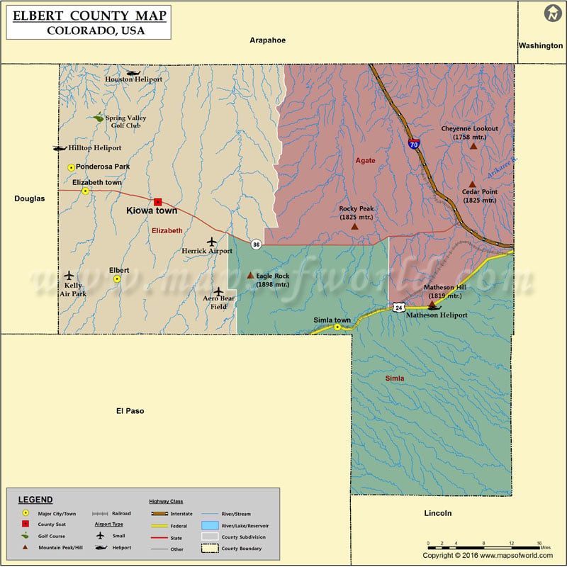
Explore the Map of Elbert County, CO, USA. Elbert County Map, Colorado showing the county boundaries, the county seat, major cities, roads, railroad, zip codes, area codes, and tourist attractions.…


Map of Elbert County, CO

Explore the Map of Elbert County, CO, USA. Elbert County Map, Colorado showing the county boundaries, the county seat, major cities, roads, railroad, zip codes, area codes, and tourist attractions.

More Maps of Elbert County

Related Maps