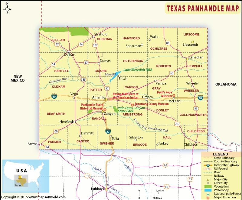
Texas Panhandle Map
Tumbleweeds, rodeo shows, pump-jacks, and windmills in wide horizons define Texas Panhandle. The panhandle region in Texas comprises the northernmost twenty six counties of the ‘Lone Star State’. The region borders New Mexico state to the west and Oklahoma state to the north and east. The panhandle covers nearly 10 percent of land area and 1.7 percent of the population of Texas.
Nicknamed “Yellow Rose of Texas”, Amarillo is the largest city in the Texas Panhandle. The Pantex Plant (the only nuclear weapons assembly and dis-assembly factory in the United States) and the Palo Duro Canyon State Park (the US’ second largest canyon system) are located near Amarillo. The Big Texan Steak Ranch, Amarillo Zoo, and Wonderland Amusement Park are famous attractions in Amarillo.
Related Maps

 Wall Maps