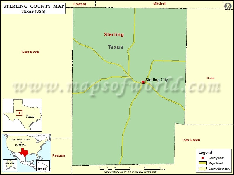
Check this Texas County Map to locate all the state’s counties in Texas Map. Mountain Peaks in Sterling County Mountain Peak/Hill Elevation [Meter] McWhorter Mountain 766 Round Top 772 Snake Mountain 675 Airports…
Check this Texas County Map to locate all the state’s counties in Texas Map.
Mountain Peaks in Sterling County
| Mountain Peak/Hill |
Elevation [Meter] |
| McWhorter Mountain |
766 |
| Round Top |
772 |
| Snake Mountain |
675 |
Airports in Sterling County
| Airport Name |
| Alvie Cole Ranch Airport |
| Mc Entire’s Lazy V Ranch Airport |
Cities in Sterling County
| City |
Population |
Latitude |
Longitude |
| Sterling City city |
888 |
31.839175 |
-100.985878 |

 Wall Maps