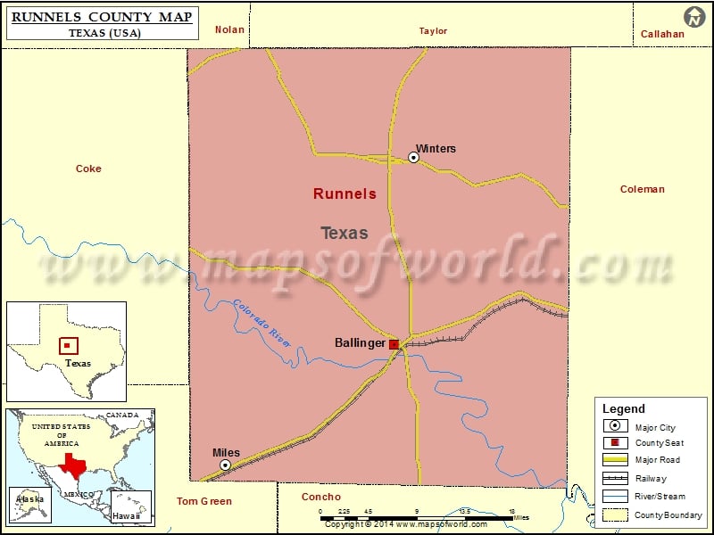
Runnels County Map, Texas
Check this Texas County Map to locate all the state’s counties in Texas Map. Mountain Peaks in Runnels County Mountain Peak/Hill Elevation [Meter] Bald Knob 700 Moro Mountain 700 Table Mountain 688 Airports…
Check this Texas County Map to locate all the state’s counties in Texas Map .
Mountain Peaks in Runnels County
Mountain Peak/Hill
Elevation [Meter]
Bald Knob
700
Moro Mountain
700
Table Mountain
688
Airports in Runnels County
Airport Name
Bruce Field
Knot 2 Shabby Airport
Winters Municipal Airport
Cities in Runnels County
City
Population
Latitude
Longitude
Ballinger city
3767
31.740581
-99.95549
Miles city
829
31.599907
-100.184462
Winters city
2562
31.956402
-99.929669
Golf Courses in Runnels County
Name of Golf Course
Latitude
Longitude
Ballinger Country Club-Ballinger
31.748765
-99.964304
Winters Country Club-Winters
31.961815
-99.945924

 Wall Maps