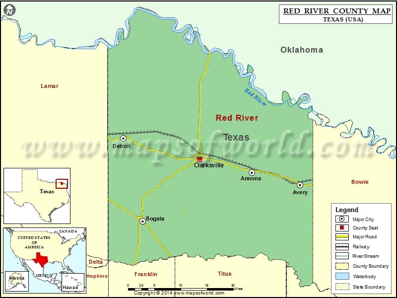
Red River County Map, Texas
Check this Texas County Map to locate all the state’s counties in Texas Map. Mountain Peaks in Red River County Mountain Peak/Hill Elevation [Meter] Hardison Mound 86 Pigpen Knoll 86 Stockbridge Knoll 86…
Check this Texas County Map to locate all the state’s counties in Texas Map .
Mountain Peaks in Red River County
Mountain Peak/Hill
Elevation [Meter]
Hardison Mound
86
Pigpen Knoll
86
Stockbridge Knoll
86
Whiteoak Knoll
84
Airports in Red River County
Airport Name
Bucker Field
Clarksville Red River City-J D Trissell Field
East Texas Medical Center Clarksville Heliport
Russells Ranch Airport
Cities in Red River County
City
Population
Latitude
Longitude
Annona town
315
33.581811
-94.913079
Avery town
482
33.552165
-94.780226
Bogata city
1153
33.469793
-95.213551
Clarksville city
3285
33.610977
-95.056121
Detroit town
732
33.660196
-95.266454
Golf Courses in Red River County
Name of Golf Course
Latitude
Longitude
Clarksville Country Club-Clarksville
33.620332
-95.051809

 Wall Maps