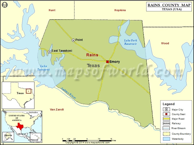
Check this Texas County Map to locate all the state’s counties in Texas Map. Airports in Rains County Airport Name Bucker Field Southwest Rains Vol Fire Department Heliport Cities in Rains County City…
Check this Texas County Map to locate all the state’s counties in Texas Map.
Airports in Rains County
| Airport Name |
| Bucker Field |
| Southwest Rains Vol Fire Department Heliport |
Cities in Rains County
| City |
Population |
Latitude |
Longitude |
| East Tawakoni city |
883 |
32.900959 |
-95.939646 |
| Emory city |
1239 |
32.87656 |
-95.767675 |
| Point city |
820 |
32.930163 |
-95.868907 |
Golf Courses in Rains County
| Name of Golf Course |
Latitude |
Longitude |
| Lake Fork Golf Club-Emory |
32.913086 |
-95.658462 |

 Wall Maps