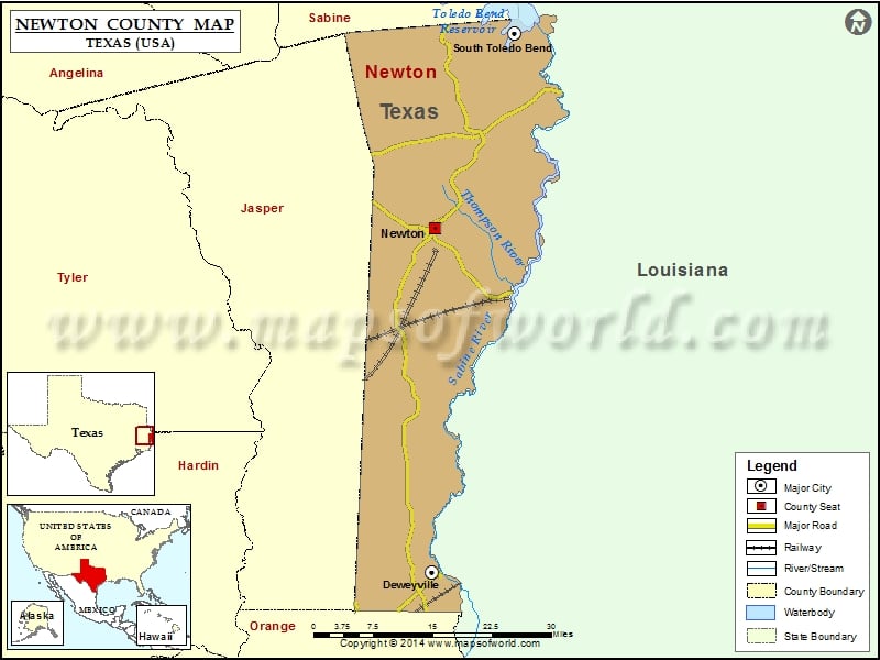
Check this Texas County Map to locate all the state’s counties in Texas Map. Mountain Peaks in Newton County Mountain Peak/Hill Elevation [Meter] Gunter Hill 86 Sand Hills 108 Twin Hills 157 More…
Check this Texas County Map to locate all the state’s counties in Texas Map.
Mountain Peaks in Newton County
| Mountain Peak/Hill |
Elevation [Meter] |
| Gunter Hill |
86 |
| Sand Hills |
108 |
| Twin Hills |
157 |
More Maps of Newton County
Airports in Newton County
| Airport Name |
| Newton Municipal Airport |
| Scrappin Valley Airport |
Cities in Newton County
| City |
Population |
Latitude |
Longitude |
| Deweyville |
1023 |
30.303468 |
-93.758685 |
| Newton city |
2478 |
30.850243 |
-93.753673 |
| South Toledo Bend |
524 |
31.156779 |
-93.607466 |

 Wall Maps