Mitchell County Map, Texas
Check this Texas County Map to locate all the state’s counties in Texas Map. Mountain Peaks in Mitchell County Mountain Peak/Hill Elevation [Meter] Beals Mountain 679 Clay Smith Peak 651 Lone Wolf Mountain…
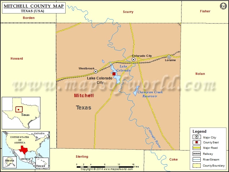
Check this Texas County Map to locate all the state’s counties in Texas Map .
Mountain Peaks in Mitchell County
Mountain Peak/Hill
Elevation [Meter]
Beals Mountain
679
Clay Smith Peak
651
Lone Wolf Mountain
752
Morgan Peak
692
Red Hills
663
More Maps of Mitchell County
Airports in Mitchell County
Airport Name
Colorado City Airport
Landers Ranch Airport
Trulock Ranch Field
Cities in Mitchell County
City
Population
Latitude
Longitude
Colorado City city
4146
32.399487
-100.858304
Lake Colorado City
588
32.34916
-100.937608
Loraine town
602
32.408652
-100.712515
Westbrook city
253
32.357073
-101.013259
Golf Courses in Mitchell County
Name of Golf Course
Latitude
Longitude
WolfCreek Golf Links-Colorado City
32.409803
-100.827365

 Wall Maps