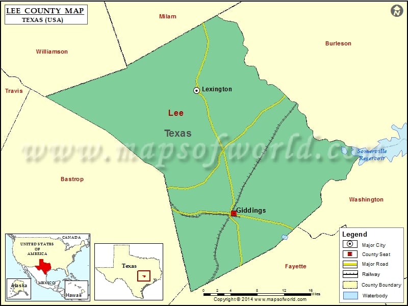
Texas County Maps Lee County Map, Texas Vishul MalikOctober 29, 202201.4K views Mountain Peaks in Lee County Mountain Peak/Hill Elevation [Meter] Buzzard Knobs 121 Clay Hill 138 Yegua Knobbs 225 More Maps of Lee County Lee County Map, South Carolina Lee County… Buy Printed MapBuy Digital MapWall MapsCustomize Mountain Peaks in Lee County Mountain Peak/Hill Elevation [Meter] Buzzard Knobs 121 Clay Hill 138 Yegua Knobbs 225 More Maps of Lee County Lee County Map, South Carolina Lee County Map, Alabama Lee County Map, Florida Lee County Map, North Carolina Lee County Map, Georgia Airports in Lee County Airport Name Bar S Ranch Airport Cotton Patch Airport Giddings Lee County Airport Lexington Airfield Wood Triple D Airport Cities in Lee County City Population Latitude Longitude Giddings city 4881 30.183326 -96.928977 Lexington town 1177 30.41479 -97.009362 Golf Courses in Lee County Name of Golf Course Latitude Longitude Giddings Country Club-Giddings 30.152151 -96.868883

 Wall Maps