Kleberg County Map, Texas
Check this Texas County Map to locate all the state’s counties in Texas Map. Mountain Peaks in Kleberg County Mountain Peak/Hill Elevation [Meter] Alazan Mott 2 Big Ball Hill 1 Big Hill 0…
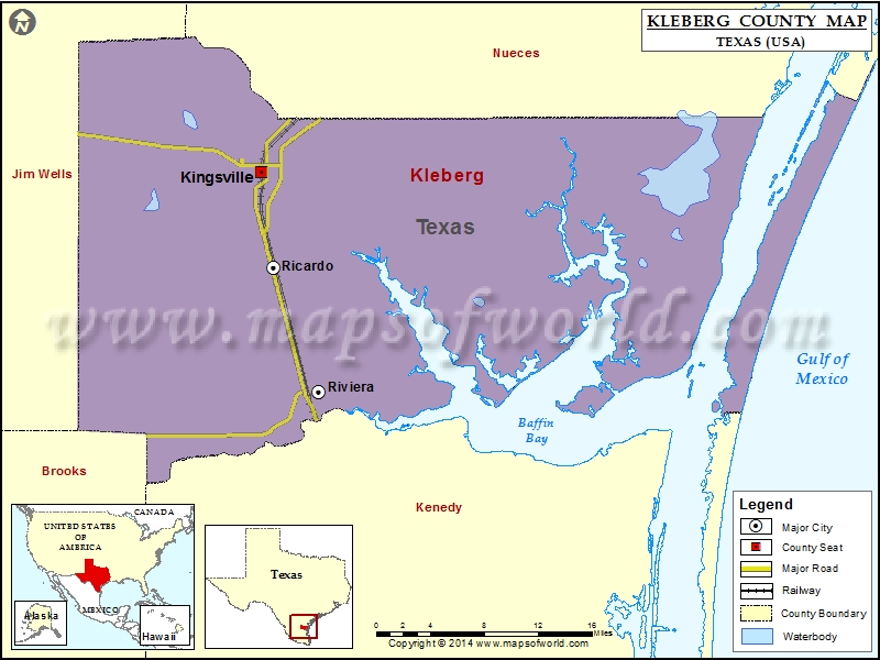
Check this Texas County Map to locate all the state’s counties in Texas Map .
Mountain Peaks in Kleberg County
Mountain Peak/Hill
Elevation [Meter]
Alazan Mott
2
Big Ball Hill
1
Big Hill
0
Dagger Hill
2
Green Hill
2
Little Dagger Hill
1
Airports in Kleberg County
Airport Name
Kingsville Naval Air Station
Kleberg County Airport
Lewis Heliport
Cities in Kleberg County
City
Population
Latitude
Longitude
Kingsville city
26213
27.509515
-97.860956
Ricardo
1048
27.418555
-97.847648
Riviera
689
27.299293
-97.79969
Golf Courses in Kleberg County
Name of Golf Course
Latitude
Longitude
L E Ramey Golf Course-Kingsville
27.475838
-97.859464
National Parks in Kleberg County
Name of Park
Latitude
Longitude
Padre Island NS
27.054559
-97.357305

 Wall Maps