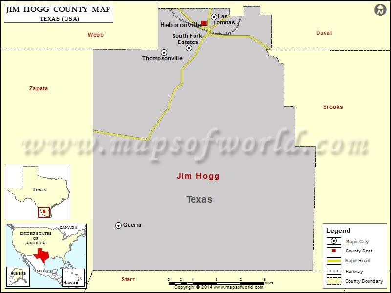
Check this Texas County Map to locate all the state’s counties in Texas Map. Airports in Jim Hogg County Airport Name Jim Hogg County Airport Puesta Del Sol Airport Puesta del Sol Airport…
Check this Texas County Map to locate all the state’s counties in Texas Map.
Airports in Jim Hogg County
| Airport Name |
| Jim Hogg County Airport |
| Puesta Del Sol Airport |
| Puesta del Sol Airport |
| San Rafael Ranch Airport |
| Zachry Ranch Airport |
Cities in Jim Hogg County
| City |
Population |
Latitude |
Longitude |
| Guerra |
6 |
26.882583 |
-98.894882 |
| Hebbronville |
4558 |
27.323979 |
-98.686067 |
| Las Lomitas |
244 |
27.33784 |
-98.662885 |
| South Fork Estates |
70 |
27.269656 |
-98.723951 |
| Thompsonville |
46 |
27.260012 |
-98.784671 |

 Wall Maps