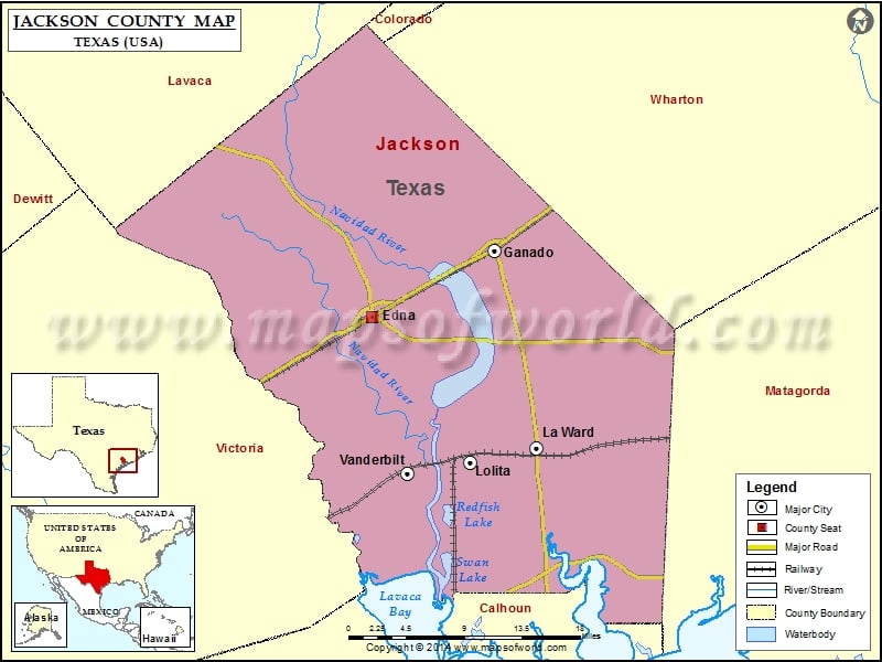
Jackson County Map, Texas
Check this Texas County Map to locate all the state’s counties in Texas Map. Mountain Peaks in Jackson County Mountain Peak/Hill Elevation [Meter] Old Red Bluff 6 More Maps of Jackson County Jackson…
Check this Texas County Map to locate all the state’s counties in Texas Map .
Mountain Peaks in Jackson County
Mountain Peak/Hill
Elevation [Meter]
Old Red Bluff
6
More Maps of Jackson County
Airports in Jackson County
Airport Name
Cuero Municipal Airport
Fenner Ranch Airport
Hahns Airport
Jackson County Airport
Kubecka Flying Service Inc. Airport
Whites Airport
Wolf Point Heliport
Cities in Jackson County
City
Population
Latitude
Longitude
Edna city
5499
28.975699
-96.648256
Ganado city
2003
29.041246
-96.511048
La Ward city
213
28.846442
-96.464876
Lolita
555
28.832574
-96.53868
Vanderbilt
395
28.820811
-96.609639
Golf Courses in Jackson County
Name of Golf Course
Latitude
Longitude
Edna Country Club-Edna
28.951715
-96.672528
Ganado Golf & Country Club-Ganado
29.029317
-96.500676
Palacios Golf Course-Palacios
28.73754
-96.406043

 Wall Maps