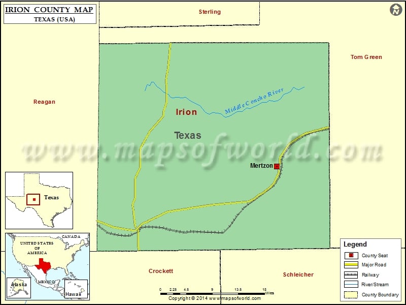
Check this Texas County Map to locate all the state’s counties in Texas Map. Mountain Peaks in Irion County Mountain Peak/Hill Elevation [Meter] Cedar Hill 797 High Point Hill 739 Johnson Hill 811…
Check this Texas County Map to locate all the state’s counties in Texas Map.
Mountain Peaks in Irion County
| Mountain Peak/Hill |
Elevation [Meter] |
| Cedar Hill |
797 |
| High Point Hill |
739 |
| Johnson Hill |
811 |
| Ketchum Mountain |
830 |
| Lopez Peaks |
781 |
| Monument Hill |
750 |
Airports in Irion County
| Airport Name |
| Creekside Airport |
| Sierra Blanca Heliport |
Cities in Irion County
| City |
Population |
Latitude |
Longitude |
| Mertzon city |
781 |
31.261983 |
-100.820808 |

 Wall Maps