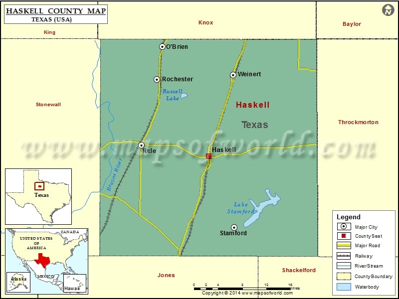
Haskell County Map, Texas
Check this Texas County Map to locate all the state’s counties in Texas Map. Mountain Peaks in Haskell County Mountain Peak/Hill Elevation [Meter] Flat Top Mountain 552 Airports in Haskell County Airport Name…
Check this Texas County Map to locate all the state’s counties in Texas Map .
Mountain Peaks in Haskell County
Mountain Peak/Hill
Elevation [Meter]
Flat Top Mountain
552
Airports in Haskell County
Airport Name
Haskell Municipal Airport
Cities in Haskell County
City
Population
Latitude
Longitude
Haskell city
3322
33.159775
-99.732032
O’Brien city
106
33.380198
-99.843824
Rochester town
324
33.314205
-99.856503
Rule town
636
33.181942
-99.893272
Stamford city
3124
33.01549
-99.671696
Weinert city
172
33.323401
-99.673674
Golf Courses in Haskell County
Name of Golf Course
Latitude
Longitude
Haskell County Country Club-Haskell
33.185296
-99.697209

 Wall Maps