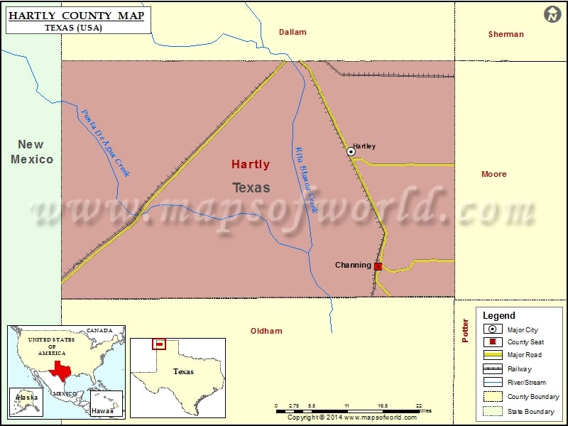
Check this Texas County Map to locate all the state’s counties in Texas Map. Mountain Peaks in Hartley County Mountain Peak/Hill Elevation [Meter] Bennett Sand Hills 1288 Red White and Blue Sand Hills…
Check this Texas County Map to locate all the state’s counties in Texas Map.
Mountain Peaks in Hartley County
| Mountain Peak/Hill |
Elevation [Meter] |
| Bennett Sand Hills |
1288 |
| Red White and Blue Sand Hills |
1304 |
| Sand Hills |
1296 |
| Syndicate Hills |
1276 |
Airports in Hartley County
| Airport Name |
| Dalhart Municipal Airport |
Cities in Hartley County
| City |
Population |
Latitude |
Longitude |
| Channing city |
363 |
35.681902 |
-102.332244 |
| Hartley |
540 |
35.891447 |
-102.393307 |

 Wall Maps