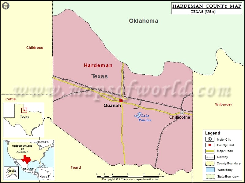
Check this Texas County Map to locate all the state’s counties in Texas Map. Mountain Peaks in Hardeman County Mountain Peak/Hill Elevation [Meter] Big Mound 521 Cedar Mound 504 Flat Top 489 Hepsidam…
Check this Texas County Map to locate all the state’s counties in Texas Map.
Mountain Peaks in Hardeman County
| Mountain Peak/Hill |
Elevation [Meter] |
| Big Mound |
521 |
| Cedar Mound |
504 |
| Flat Top |
489 |
| Hepsidam Hill |
510 |
| Little Mound |
475 |
| Medicine Mounds |
475 |
| Third Mound |
487 |
More Maps of Hardeman County
Airports in Hardeman County
| Airport Name |
| Locker Brothers Airport |
| Quanah Municipal Airport |
Cities in Hardeman County
| City |
Population |
Latitude |
Longitude |
| Chillicothe city |
707 |
34.255984 |
-99.514416 |
| Quanah city |
2641 |
34.295366 |
-99.742889 |
Golf Courses in Hardeman County
| Name of Golf Course |
Latitude |
Longitude |
| Quanah Country Club-Quanah |
34.33348 |
-99.715149 |

 Wall Maps