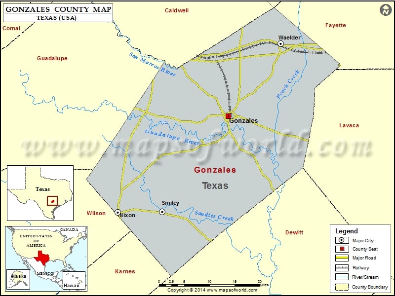
Gonzales County Map, Texas
Check this Texas County Map to locate all the state’s counties in Texas Map. Mountain Peaks in Gonzales County Mountain Peak/Hill Elevation [Meter] Bald Mound 142 Pin Oak Mound 107 Red Hill 135…
Check this Texas County Map to locate all the state’s counties in Texas Map .
Mountain Peaks in Gonzales County
Mountain Peak/Hill
Elevation [Meter]
Bald Mound
142
Pin Oak Mound
107
Red Hill
135
Rocky Mound
132
Russell Hill
154
Santa Anna Mound
95
Stevens Hill
119
Van Cleave Mound
143
Watson Hill
128
Windy Hill
71
Airports in Gonzales County
Airport Name
Gottwald Field
Joye Ranch Airport
Roger M. Dreyer Memorial Airport
Wilbourn Ranch Airport
Cities in Gonzales County
City
Population
Latitude
Longitude
Gonzales city
7237
29.512539
-97.447237
Nixon city
2385
29.269806
-97.765745
Smiley city
549
29.271292
-97.637551
Waelder city
1065
29.694369
-97.29719

 Wall Maps