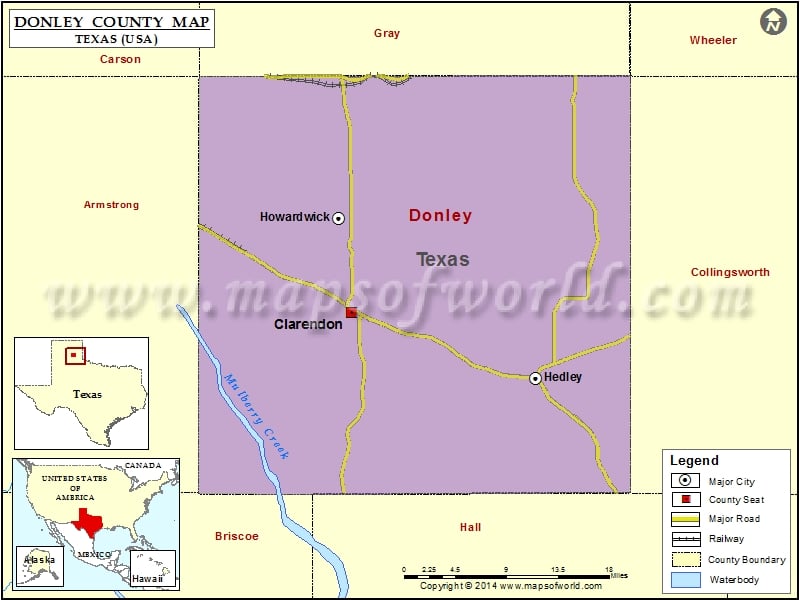
Texas County Maps Donley County Map, Texas Vishul MalikApril 3, 202501.1K views Check this Texas County Map to locate all the state’s counties in Texas Map. Mountain Peaks in Donley County Mountain Peak/Hill Elevation [Meter] Gunboat Mountain 895 Mount Ararat 949 Airports in Donley County… Buy Printed MapBuy Digital MapWall MapsCustomize Check this Texas County Map to locate all the state’s counties in Texas Map. Mountain Peaks in Donley County Mountain Peak/Hill Elevation [Meter] Gunboat Mountain 895 Mount Ararat 949 Airports in Donley County Airport Name Hedley Airport Smiley Johnson Municipal-Bass Field Cities in Donley County City Population Latitude Longitude Clarendon city 2026 34.936645 -100.891792 Hedley city 329 34.867384 -100.65905 Howardwick city 402 35.035087 -100.908318 Golf Courses in Donley County Name of Golf Course Latitude Longitude Clarendon Country Club-Howardwick 35.025995 -100.903749

 Wall Maps