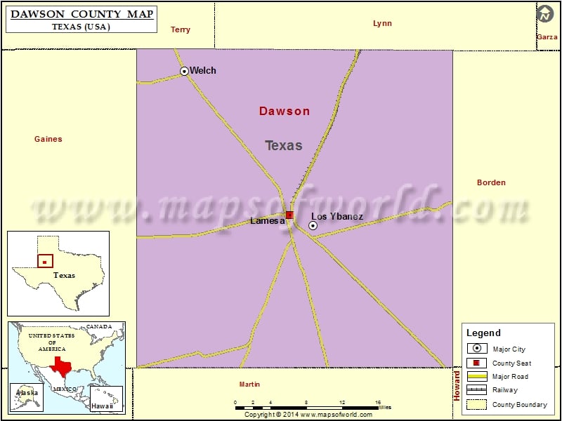
Check this Texas County Map to locate all the state’s counties in Texas Map. Airports in Dawson County Airport Name Benny White Flying Airport Coleman Cattle Company Nr 1 Airport Lamesa Municipal Airport…
Check this Texas County Map to locate all the state’s counties in Texas Map.
Airports in Dawson County
| Airport Name |
| Benny White Flying Airport |
| Coleman Cattle Company Nr 1 Airport |
| Lamesa Municipal Airport |
| Thorp Airport |
More Maps of Dawson County
Cities in Dawson County
| City |
Population |
Latitude |
Longitude |
| Lamesa city |
9422 |
32.733489 |
-101.954824 |
| Los Ybanez city |
19 |
32.718816 |
-101.91739 |
| Welch |
222 |
32.930629 |
-102.125657 |
Golf Courses in Dawson County
| Name of Golf Course |
Latitude |
Longitude |
| Lamesa Country Club-Lamesa |
32.751433 |
-101.950764 |
| Lamesa Municipal Golf Course-Lamesa |
32.72739 |
-101.972125 |

 Wall Maps