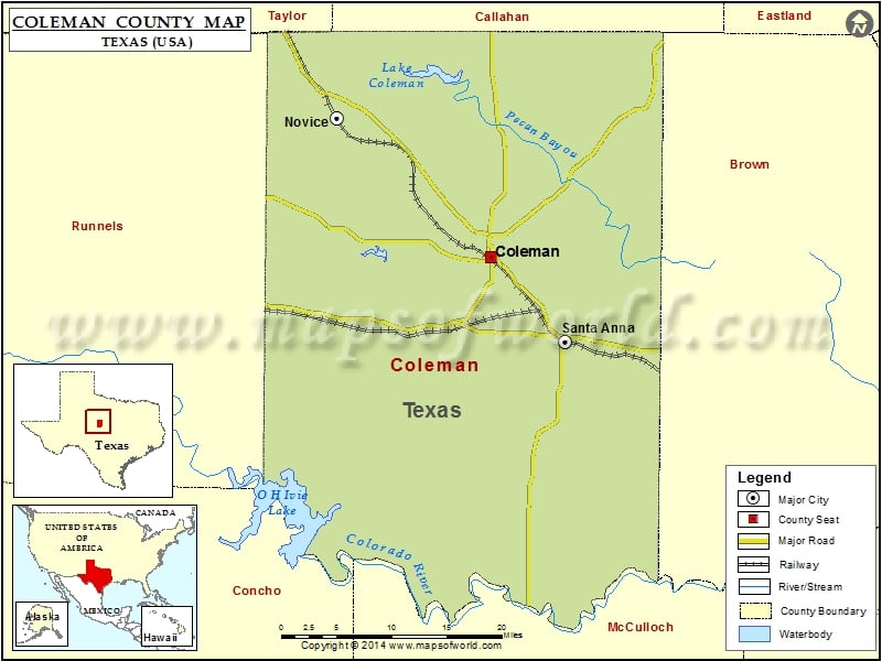
Coleman County Map, Texas
Check this Texas County Map to locate all the state’s counties in Texas Map. Mountain Peaks in Coleman County Mountain Peak/Hill Elevation [Meter] Barefoot Mountains 489 Bead Mountain 603 Chandlers Peak 650 Jim…
Check this Texas County Map to locate all the state’s counties in Texas Map .
Mountain Peaks in Coleman County
Mountain Peak/Hill
Elevation [Meter]
Barefoot Mountains
489
Bead Mountain
603
Chandlers Peak
650
Jim Ned Peak
640
Parks Mountain
461
Red Knob
489
Robinson Peak
632
Round Mountain
447
Santa Anna Mountains
589
Speck Mountain
462
Airports in Coleman County
Airport Name
Coleman Municipal Airport
River Bend Ranch Airport
Cities in Coleman County
City
Population
Latitude
Longitude
Coleman city
4709
31.831604
-99.422309
Novice city
139
31.987205
-99.625293
Santa Anna town
1099
31.736914
-99.325424
Golf Courses in Coleman County
Name of Golf Course
Latitude
Longitude
Coleman Country Club-Coleman
31.82724
-99.426769

 Wall Maps