Check this Texas County Map to locate all the state’s counties in Texas Map. Mountain Peaks in Childress County Mountain Peak/Hill Elevation [Meter] Flat Top 565 Airports in Childress County…
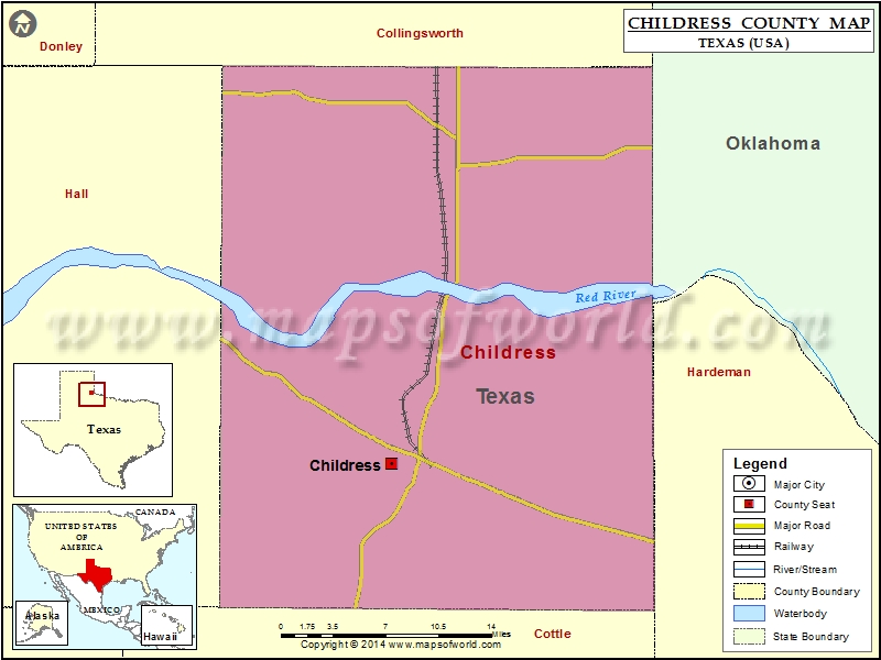
Check this Texas County Map to locate all the state’s counties in Texas Map.
Mountain Peaks in Childress County
| Mountain Peak/Hill |
Elevation [Meter] |
| Flat Top |
565 |
Airports in Childress County
| Airport Name |
| Childress Municipal Airport |
| Childress Regional Medical Center Heliport |
Cities in Childress County
| City |
Population |
Latitude |
Longitude |
| Childress city |
6105 |
34.429347 |
-100.251633 |
Golf Courses in Childress County
| Name of Golf Course |
Latitude |
Longitude |
| Childress Country Club-Childress |
34.592221 |
-100.402563 |
| Stoneyridge Golf Course-Childress |
34.428954 |
-100.191093 |

 Wall Maps