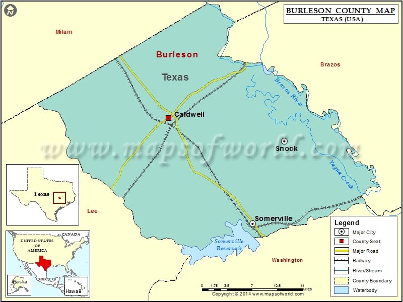
Burleson County Map, Texas
Check this Texas County Map to locate all the state’s counties in Texas Map. Mountain Peaks in Burleson County Mountain Peak/Hill Elevation [Meter] Mockingbird Hill 128 Airports in Burleson County…
Check this Texas County Map to locate all the state’s counties in Texas Map .
Mountain Peaks in Burleson County
Mountain Peak/Hill
Elevation [Meter]
Mockingbird Hill
128
Airports in Burleson County
Airport Name
Burleson County Hospital Heliport
Caldwell Municipal Airport
Weber Ranch Airport
Cities in Burleson County
City
Population
Latitude
Longitude
Caldwell city
4104
30.530693
-96.700635
Snook city
511
30.490691
-96.467117
Somerville city
1376
30.346003
-96.531092
Golf Courses in Burleson County
Name of Golf Course
Latitude
Longitude
Copperas Hollow Country Club-Caldwell
30.541866
-96.714737

 Wall Maps