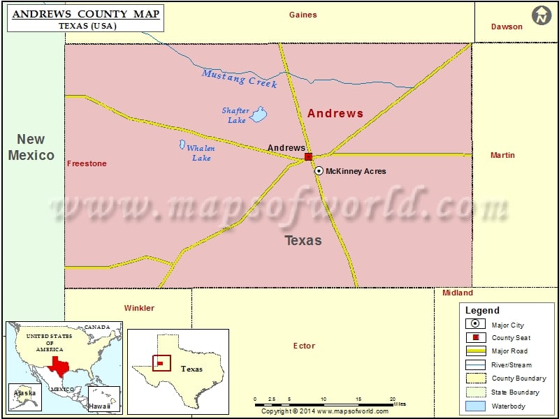
Check this Texas County Map to locate all the state’s counties in Texas Map. Mountain Peaks in Andrews County Mountain Peak/Hill Elevation [Meter] Jumbo Hill 1043 Windmill Hill 1067 Airports…
Check this Texas County Map to locate all the state’s counties in Texas Map.
Mountain Peaks in Andrews County
| Mountain Peak/Hill |
Elevation [Meter] |
| Jumbo Hill |
1043 |
| Windmill Hill |
1067 |
Airports in Andrews County
| Airport Name |
| Andrews County Airport |
Cities in Andrews County
| City |
Population |
Latitude |
Longitude |
| Andrews city |
11088 |
32.321103 |
-102.550108 |
| McKinney Acres |
815 |
32.296467 |
-102.529927 |
Golf Courses in Andrews County
| Name of Golf Course |
Latitude |
Longitude |
| Andrews County Golf Course-Andrews |
32.326409 |
-102.536695 |

 Wall Maps