
 Wall Maps
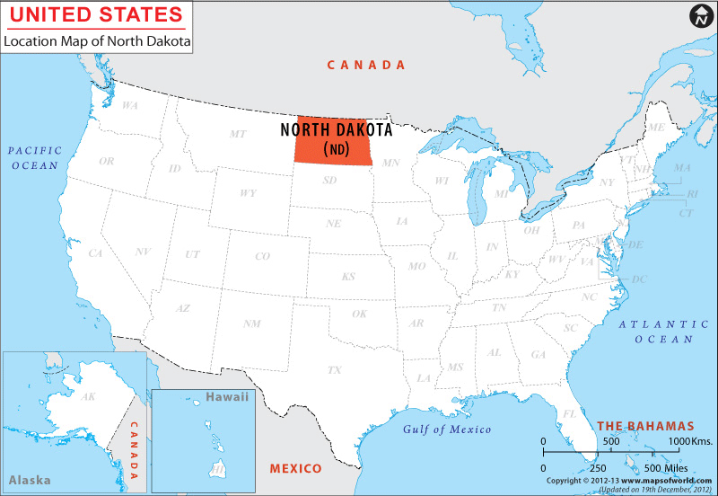
The State of North Dakota is surrounded by Canada on its northern side, by Minnesota on its eastern side, by South Dakota on its southern side and by Montana on its western side. The coordinates of the state are 47.5° N, 100.5° W.
The total length of the boundary of North Dakota is 1,312 mi. North Dakota encompasses total area of 70,703 square miles. The state has total land area of 69,300 square miles and total inland water of 1,403 square miles. Situated at an altitude of 3,506 feet, White Butte is the highest point of the state. Red River at 750 feet is the lowest point of North Dakota.
Facts About North Dakota |
|---|
| State Name | North Dakota |
| Continent | North America |
| Country | United State (USA) |
| Capital | Bismarck |
| Largest city | Fargo |
| Area | 70,700 sq mi (183,272 km2) |
| Population | 739,482 (2014 est) |
| Lat Long | 47° 0′ 0″ N, 100° 0′ 0″ W |
| Official Language | English |
| Calling Code | 00 1 701 X (Bismarck), 00 1 701 X (Fargo) |
| Time Zone | Central: UTC -6/-5 (most of state), Mountain: UTC -7/-6 (southwest) |
| Airport | 7- Airports Scheduled Service |
| Neighbour State | South Dakota, Montana, Minnesota |
| Internet TLD | |
| Currency | United State Dollar (USD) |