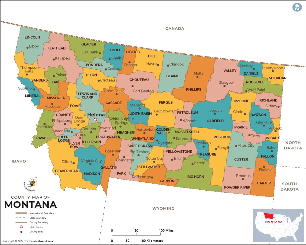
Spanning an area of 147,040 square miles, Montana is the fourth largest state in the United States. There are 56 counties in the state. Beaverhead, Deer Lodge, Gallatin, Jefferson, Lewis & Clark, Madison, Missoula, and Chouteau were the original counties when the Montana Territory was created in 1864. The area of Yellowstone National Park comes under Gallatin County and Park County.
Covering an area of 5,543 square miles, Beaverhead County is the largest county in Montana. Silver Bow County in southwestern Montana is the state’s smallest county by area. With more than 155,000 inhabitants, Yellowstone County is the most populous county in the state. Petroleum County was the last county out of 56, founded in 1925. It is also the least populous county in Montana. Daniels County in northeastern portion of the state is considered one of the most rural counties in the US.
MOW.DT.12.9.16

 Wall Maps