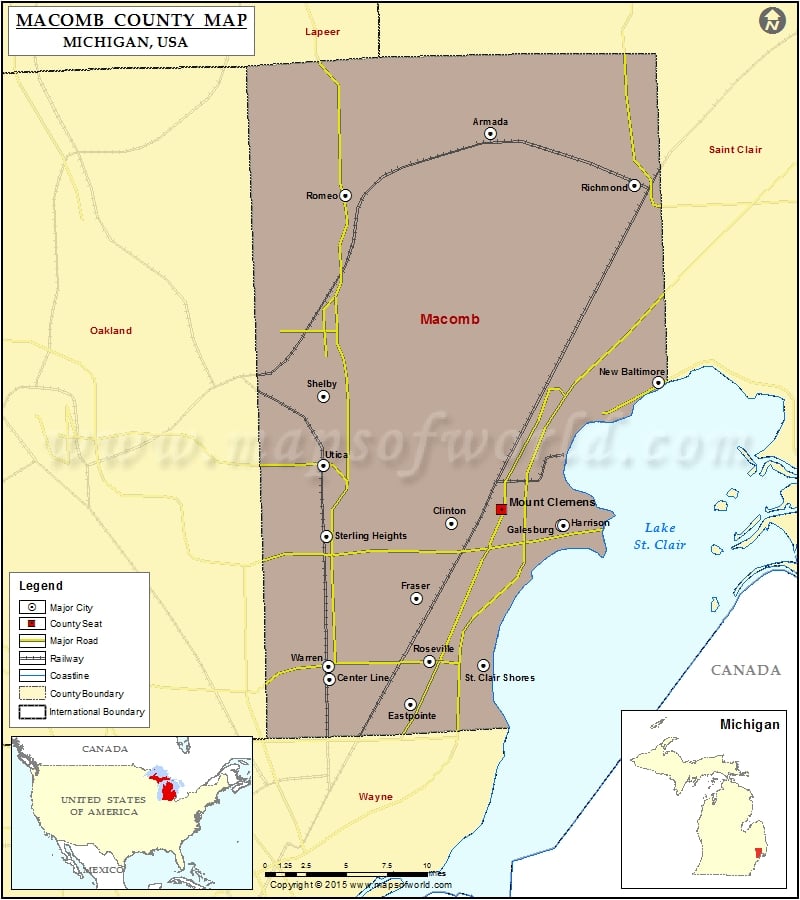
Mountain Peaks in Macomb County Mountain Peak/Hill Elevation [Meter] Twombly Mountain 350 Airports in Macomb County Airport Name Acme Heliport Bayview Heliport Berz-Macomb Airport Dodge Airport Eagle Heliport Flaglor…
Mountain Peaks in Macomb County
Mountain Peak/Hill
Elevation [Meter]
Twombly Mountain
350
Airports in Macomb County
Airport Name
Acme Heliport
Bayview Heliport
Berz-Macomb Airport
Dodge Airport
Eagle Heliport
Flaglor Airport
Grant Pad Heliport
Kriewall Strip
Modisett Airport
Romeo State Airport
Simpson Airport
Ti Heliport
Cities in Macomb County
City
Population
Latitude
Longitude
Armada village
1730
42.842389
-82.882843
Center Line city
8257
42.480556
-83.027347
Eastpointe city
32442
42.465682
-82.946036
Fraser city
14480
42.538794
-82.949642
Memphis city
1183
42.895662
-82.768896
Mount Clemens city
16314
42.59759
-82.88206
New Baltimore city
12084
42.683985
-82.738442
New Haven village
4642
42.730619
-82.795311
Richmond city
5735
42.809347
-82.751648
Romeo village
3596
42.804888
-83.004102
Roseville city
47299
42.5074
-82.936964
St. Clair Shores city
59715
42.493282
-82.892197
Sterling Heights city
129699
42.580985
-83.030368
Utica city
4757
42.628998
-83.022394
Warren city
134056
42.493423
-83.027008

 Wall Maps