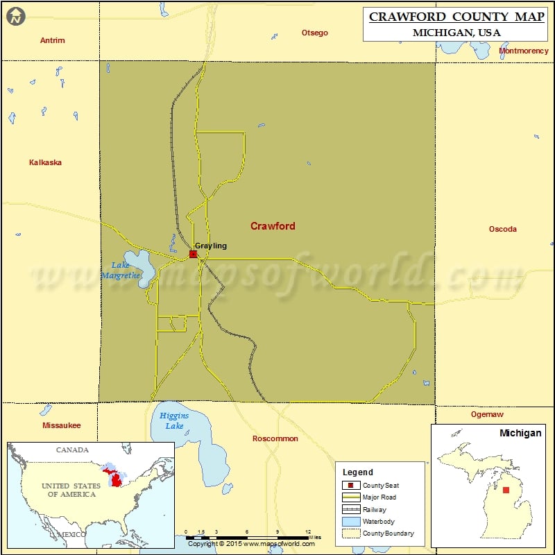
Mountain Peaks in Crawford County Mountain Peak/Hill Elevation [Meter] Argonne Hill 389 Bald Hill 426 Bald Knob 384 Copper Range 386 Cote Dame Marie 458 Croshaw Hill 399 Crum Hill…
Mountain Peaks in Crawford County
Mountain Peak/Hill
Elevation [Meter]
Argonne Hill
389
Bald Hill
426
Bald Knob
384
Copper Range
386
Cote Dame Marie
458
Croshaw Hill
399
Crum Hill
414
Guyton Hill
387
Haan Hill
393
Hogarth Hill
395
McCall Hill
408
Mont Saint Martin
390
Mount Franklin
380
Olsen Hill
445
Red Arrow Hill
389
Regan Hill
384
Sinke Hill
403
Stafford Hill
395
Stewart Hill
409
Taylor Hill
440
Thompson Hill
403
Three Sisters Range
431
Toll Hill
430
Westenage Hill
422
Wilson Hill
387
More Maps of Crawford County
Airports in Crawford County
Airport Name
Grayling Army Air Field
Kelleys Airport
Cities in Crawford County
City
Population
Latitude
Longitude
Grayling city
1884
44.656747
-84.708857

 Wall Maps