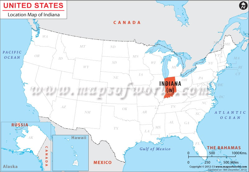
Location of Indiana on Map
The state of Indiana is location at the coordinates 40.0° N, 86.0° W. Indiana shares its northern border with Michigan, eastern border with Ohio, southern and southeastern border with Kentucky and western border with Illinois. The total length of the boundary is 1,696 miles. Indiana stretches over 160 miles in the east-west direction and 280 miles in the north-south direction.
Facts About Indiana |
|---|
| State Name | Indiana |
|---|---|
| Country | USA |
| Continent | North America |
| Capital and largest city | Indianapolis |
| Area | 36,418 sq mi (94,321 km2) |
| Population | 6,596,855 (2014 est) |
| Lat Long | 40° 0′ 0″ N, 86° 0′ 0″ W |
| Official Language | English |
| Calling Code | +1 317, 812, 765, 574, 260, 219 |
| Time Zone | Central Time Zone (UTC-06:00), Eastern Time Zone (UTC-05:00), UTC−05:00 |
| Airport | 5- Scheduled service |
| Neighbour countries | Canada, Mexico |
| Internet TLD | |
| Currency | United States Dollar (USD) |

 Wall Maps