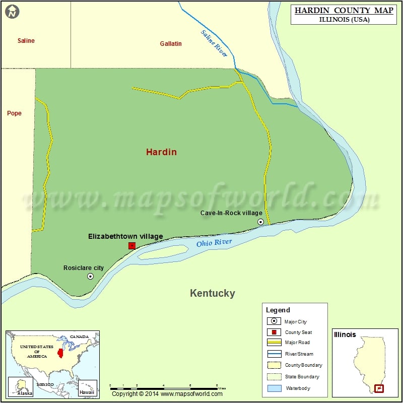
Hardin County Map, Illinois
Mountain Peaks in Hardin County Mountain Peak/Hill Elevation [Meter] Ace Perry Point 168 Beaver Hill 147 Belt Hill 200 Brokaw Hill 193 Brown Hill 128 Crow Hill 174 Hamilton Hill…
Mountain Peaks in Hardin County
Mountain Peak/Hill
Elevation [Meter]
Ace Perry Point
168
Beaver Hill
147
Belt Hill
200
Brokaw Hill
193
Brown Hill
128
Crow Hill
174
Hamilton Hill
175
Hicks Dome
203
High Knob
280
Humm Hill
161
Keeling Hill
200
Lavender Hill
140
Lead Hill
197
Melcher Hills
214
Rich Hill
174
Sturgeon Hill
181
Tucker Hill
195
More Maps of Hardin County
Airports in Hardin County
Airport Name
Henderson Airport
Cities in Hardin County
City
Population
Latitude
Longitude
Cave-In-Rock village
318
37.470746
-88.165932
Elizabethtown village
299
37.449889
-88.305142
Rosiclare city
1160
37.424024
-88.350113
Golf Courses in Hardin County
Name of Golf Course
Latitude
Longitude
TTI Golf Club-Cave In Rock
37.496186
-88.169901

 Wall Maps