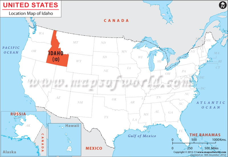
About the Location of Idaho
Idaho encompasses total area of 216,431 square kilometer which includes 213,447 square kilometer of total land area and 2,984 square kilometer of total inland water area. Idaho is surrounded by British Columbia of Canada on its northern border, by Montana on its northeastern border, by Wyoming on its eastern border, by Nevada and Utah on its southern border and by Washington and Oregon on its western border.
Idaho is 491 kilometer long on the east-west direction and 771 kilometer long on the north-south direction.
Railway Maps of different States of USA |
|---|
| State Name | Idaho |
|---|---|
| Continent | North America |
| Country | United State (USA) |
| Capital and largest city | Boise |
| Area | 83,570 sq mi (216,632 km2) |
| Population | 1,634,464 (2014 est) |
| Lat Long | 45° 0′ 0″ N, 114° 0′ 0″ W |
| Official Language | English |
| Calling Code | 00 1 208 X |
| Time Zone | Pacific Time Zone (UTC-08:00) Mountain Time Zone (UTC-07:00) |
| Airport | 6– Commercial Airports |
| Neighbour State | Montana, Utah, Washington, Wyoming, Oregon, Nevada |
| Internet TLD | |
| Currency | United State Dollar (USD) |

 Wall Maps