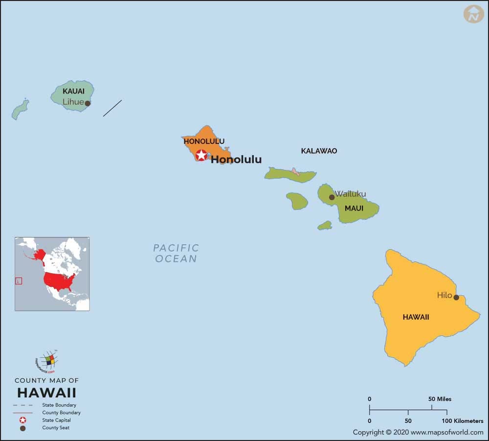
Hawaii Counties
Hawaii, the 50th state of the United States of America, is the lone state consisting of islands. The state houses five counties that act as administrative divisions of the state. Hawaii is comprised of five counties: Honolulu, Hawaii, Kauai, Niihau, and Maui. This map shows the political and administrative subdivisions of the state.
About Hawaii County Map
An exceptional feature of Hawaii is that there is no municipal government in the state. All regional administrations are governed at the county level. Honolulu County is the sole unified region in the state of Hawaii and it is a consolidated city-county. It supervises the whole island of Oahu. The Mayor of Hawaii, Mayor of Kauai, Mayor of Maui, and the Mayor of Honolulu function as county executives. They are all voted in unprejudiced contests.
The Hawaiian Islands house five counties that get higher benefits than various other counties in the mainland of the United States. The counties are the sole officially established administrative authorities under that of the state. No official tier of administration (like city governments) is present under that of the county in Hawaii.
All the counties in Hawaii were formed in 1905 from nonunionized provinces, 7 years following the Territory of Hawaii was formed. The Kalawao County is utilized solely as a leper settlement and does not contain majority of the voted bureaucrats like other counties have.
Listed below are some of the major counties in the state together with their population and other major details:
List of Counties in Hawaii |
|---|
| County Name | Population | Area (sq. mi.) |
|---|---|---|
| Hawaii County Map | 148677 | 4028.02 |
| Honolulu County Map | 876156 | 599.77 |
| Kalawao County Map | 1478 | 13.21 |
| Kauai County Map | 58463 | 622.44 |
| Maui County Map | 128094 | 1159.2 |

 Wall Maps