
 Wall Maps
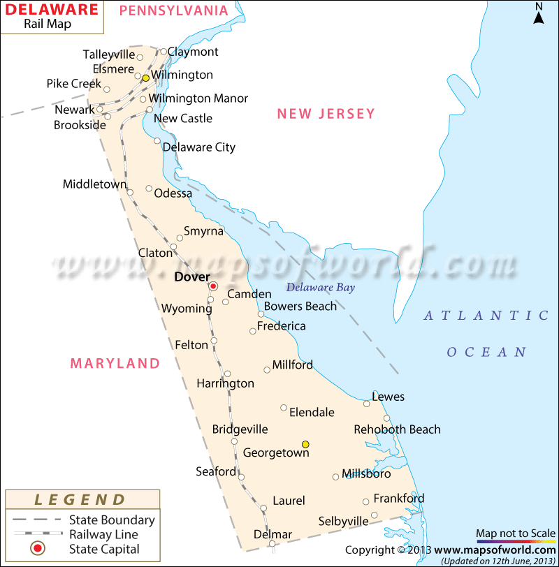
The Delaware rail map highlights the train routes that connect the cities and counties of the state, as well as other prominent rail routes.
The state of Delaware acquired its first railroads in 1832, and as of the year 2000 has 281 miles of railway tracks. The Frenchtown and New Castle Railroad was the pioneering railroad company of Delaware state, provided routes from Philadelphia to Baltimore, and in 1838 a passenger line railroad was opened.
An estimated 14.1 million tons of freight had been transported through the six railroads of the state in 1998. Amtrak, one of the main railway service providers of Delaware, offered around 70 trains to the state in the 90s, and provides routes to such locations as Wilmington and Newark. Jackson and Sharp, Harlan and Hollingsworth and Pusey and Jones are some of the prominent railroad car manufacturers of Wilmington in the state of Delaware.
Dover, Delaware’s capital city, is well-connected with an extensive network of railways, in addition to major towns such as Lewes and Georgetown.