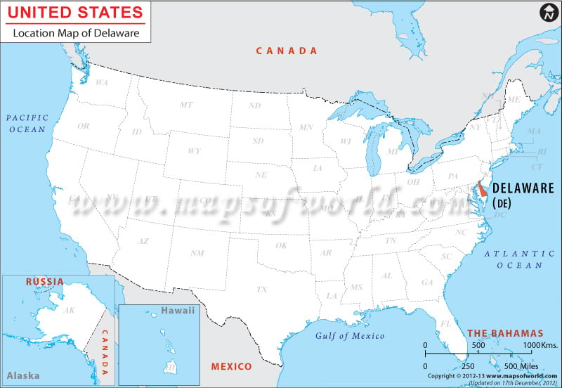
Delaware Location Map
Delaware, an eastern state, is located within the coordinates 39.0° N, 75.5° W. Delaware is bordered by Pennsylvania from the north, by New Jersey & Atlantic Ocean from east and by Maryland from the south and west.
Facts About Delaware |
|---|
| State Name | Delaware |
|---|---|
| Continent | North America |
| Country | United States (USA) |
| Capital | Dover |
| Largest city | Wilmington |
| Area | 1,982 sq mi (6,452 km2) |
| Population | 935,614 (2014 est) |
| Lat Long | 39° 0′ 0″ N, 75° 30′ 0″ W |
| Official Language | English |
| Calling Code | 00 1 302 X (Dover), 00 1 302 X (Wilmington) |
| Time Zone | Eastern: UTC −5/−4 |
| Airport | 1-Airport commercial service |
| Neighbour State | Pennsylvania, Maryland, New Jersey |
| Internet TLD | |
| Currency | United States Dollar (USD) |

 Wall Maps